-40%
Lot of San Francisco Bay Area Earthquake Publications Brochures and 3 38x38 Maps
$ 14.78
- Description
- Size Guide
Description
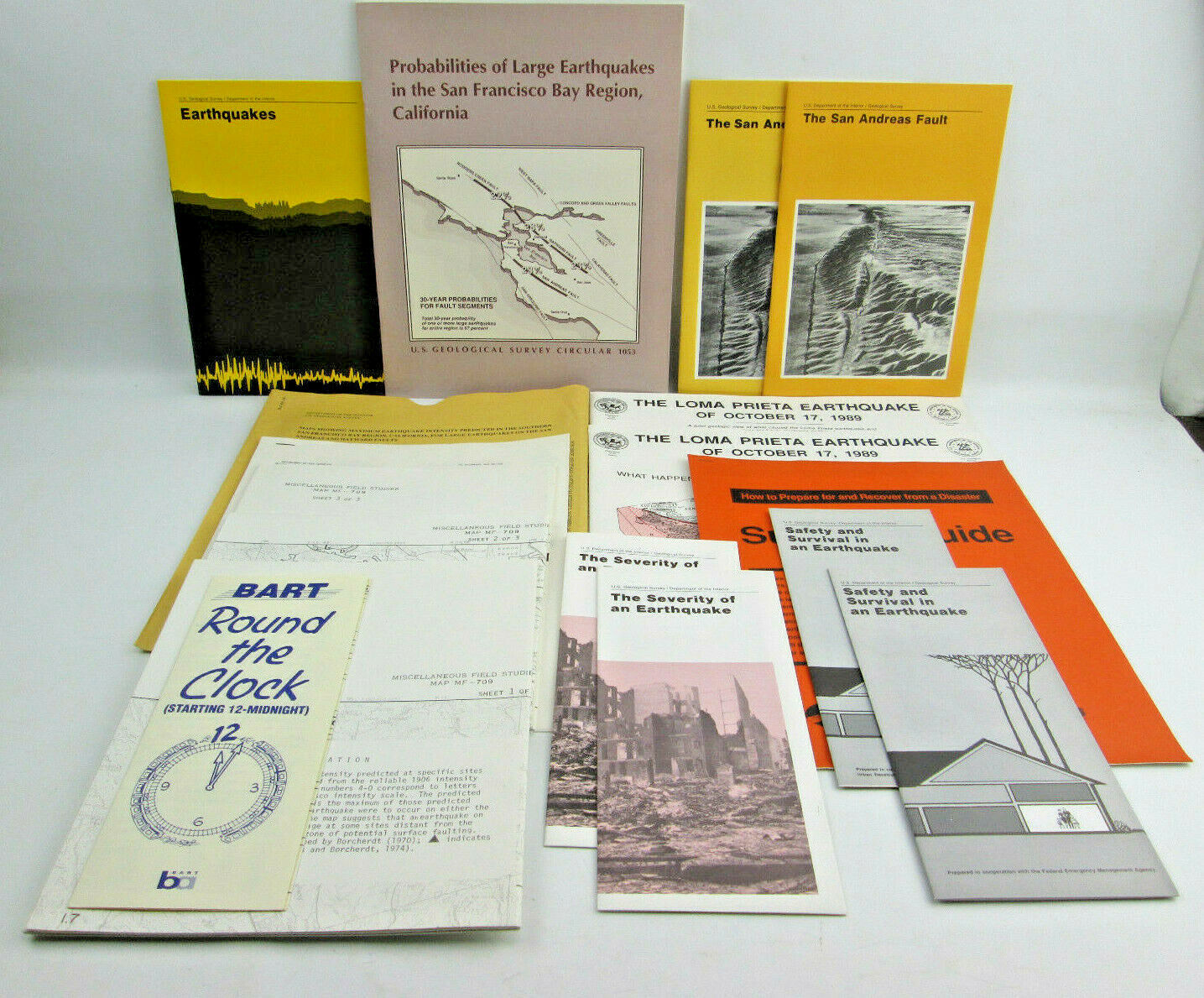
Earthquake Publications, Brochures and Maps, most of these are by the U.S. Geological Survey, Dept. of the InteriorEarthquakes Pamphlet, 1989 - 20 pages
Probabilities of Large Earthquakes in the S.F. Bay Region, California, 1990 - 51 pages
The San Andreas Fault, 1989 and 1990 printings - 17 pages each
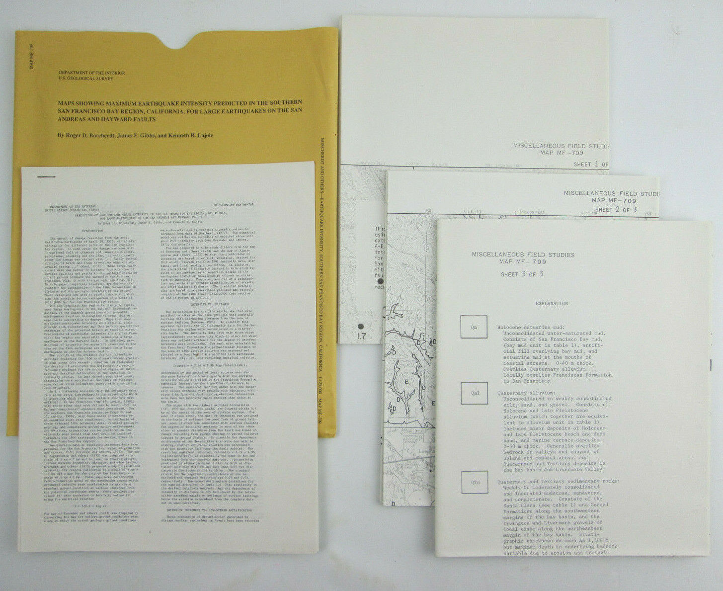
Maps Showing Maximum Earthquake Intensity Predicted in the Southern San Francisco Bay Region, CA. Three 38" by 38" Sheets with a separate set of stapled together explanation sheets, 1989.
Bart Round the Clock Special after Earthquake Schedule, 10/25/89
The Loma Prieta Earthquake of October 17, 1989, 2 Copies, both Second Printing, Revised: January 1980
Survival Guide - Getting Back to Business, Wells Fargo & Co., March 1989
The Severity of an Earthquake pamphlet, 1989 and 1990 printings
Safety and Survival in an Earthquake pamphlet, 1986 and 1990 printings
These are all preowned. Some may have creasing and wear. The Survival Guide handout has some staining on the back.
See photos for condition.
State sales tax will be charged if applicable.
Shipped with a tracking number.
Returns accepted within 30 days.
Thank You for viewing.


